Base Maps
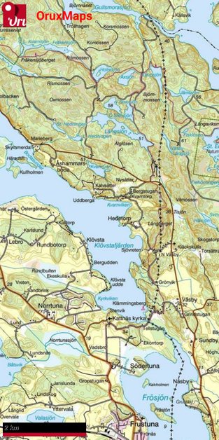
GSD Terrängkartan
The GSD Terrängkartan is nowdays available from from Lantmäteriverket, the Swedish Ordenance Survey, under the Open Data act
Terrängkartan is the most relevant and practical map to use a Base Maps for the Gravel Road data as it contains most terrain features, paths etc in a relevant scale.
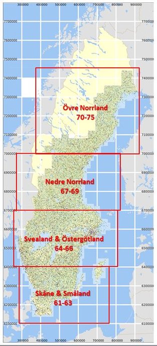
I have processed the country into four segments as seen as the rectangles in the picture
Terms of Use
1) All data is publicly available for Non Commerisal Use from Lantmäteriverket
2) Be civil, if you use it, don't claim it, give credit
OruxMaps Database Format
SQLITEDB Database Format
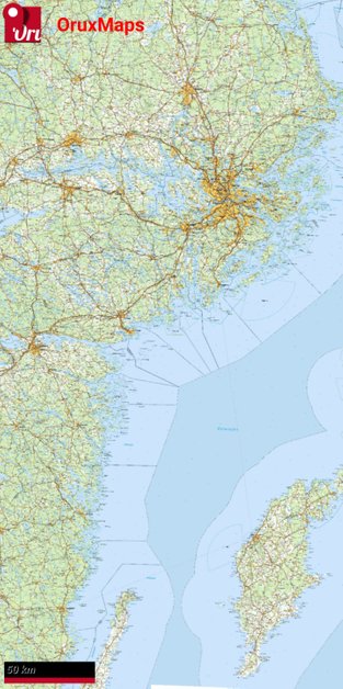
GSD Översiktskartan
The GSD Översiktskartan is nowdays available from from Lantmäteriverket, the Swedish Ordenance Survey, under the Open Data act
Översiktskartan is useful when you set it to an appropritate zoom level in order to get a quick overview
Terms of Use
1) All data is publicly available for Non Commerisal Use from Lantmäteriverket
2) Be civil, if you use it, don't claim it, give credit
OruxMaps Database Format
SQLITEDB Database Format
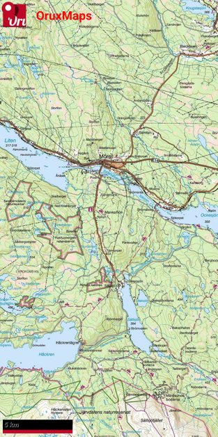
GSD Fjällkartan
The GSD Fjällkartan is nowdays available from from Lantmäteriverket, the Swedish Ordenance Survey, under the Open Data act
Fjällkartan is comparable to Terrängkartan but is constructed for a different scale and has a slightly different style
Terms of Use
1) All data is publicly available for Non Commerisal Use from Lantmäteriverket
2) Be civil, if you use it, don't claim it, give credit
OruxMaps Database Format
SQLITEDB Database Format
Not available


